
Copyright ©APK4Share. All Rights Reserved
应用和Circuit Route Planner, Radarbot (MOD, Premium 已解锁) MOD APK, Wikiloc Outdoor Navigation GPS Premium APK MOD APK, Locus Map Pro Outdoor GPS navigation and maps APK Paid MOD APK, Jugnoo Drivers, Hammer Truck GPS Navigation App, Maps, & Routes一样好,Yamashiro Kodo - v1.3.5也很多,是类型地图和导航中最出色的应用之一。
由Stroly Inc开发,Yamashiro Kodo - v1.3.5至少需要Android版本Android 4.2+。因此,如有必要,您必须更新手机。
Yamashiro Kodo - v1.3.5 APK的最新版本为1.3.5,发行日期为2021-02-07,大小为9.6 MB。
有关1000下载的统计信息可从Google Play获得。您可以根据需要更新已单独下载或安装在Android设备上的应用。更新您的应用可以为您提供更多功能。您可以访问最新功能并提高安全性和应用程序的稳定性。
由于并非所有游戏或应用程序都兼容所有手机。并且游戏或应用程序不适用于您的设备,因此取决于Android OS版本,屏幕分辨率或Google Play允许访问的国家/地区。因此,通过APK4Share,您可以轻松下载APK文件,不受这些限制。
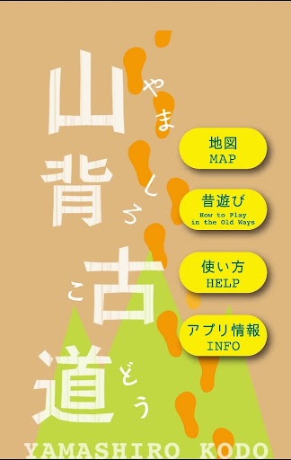
"Yamashiro Kodo" is a small diameter that is continuing while gently swirling the mountains of Namyamagi Castle between Kyoto and Nara.
You can see the map on the picture drawing the road with location information.
[What's Yamashiro Kodo]
A tomb, an old town, a talking voice of people, and a road that can meet nostalgic scenery.
This is the way the predecessors held their love of this area and the viewpoints of the attraction of the land.
It is a way that each one of us can relax and taste and rediscover the various charms that sleep in the area by walking.
While actually walking, quizzes and introductions of old-fashioned players are also described.
■ Planning, production etc.
① Yamashiro Kodo Promotion Council
In 1996, four city towns of Joyo City, Ide City, Yamashiro Town, Kizu Town ("Kizu Town, Kamo Town, Yamashiro Town" merged on March 12, 2007 and became "Kitsugawa City"), In order to promote town planning with this road as a bond, we established the Yamadashi Kochi Promotion Council.
4 Municipalities joined hands, spreading exchanges between visitors and people in the area, and began working on various projects to increase the appeal of the entire region.
[App Features]
* We associate the old map with the GPS information and display the current location on the picture map.
* Based on the GPS information, you can experience the feeling that your current location is moving and walking on the picture map.
* The landmark icon on the map contains commentary etc. in the vicinity.
* You can switch display between picture map and AppleMaps.
* When turning between picture map and AppleMaps, the orientation is displayed according to the rotation function
[Maps on the App]
・Yamashiro Kodo adventure courses
【NOTICE】
1. Stroly shows your location using GPS. Using Stroly on iPodTouch or iPad WiFi might not show accurate current position.
2. No modification is done to the description of original maps used in this app.
3. We cannot guarantee 100% accuracy of the maps and locations because
of the distortion of the original maps and the GPS accuracy. We would like you to enjoy the original uncertainty of the maps.
4. We have no intention of violating human rights by disclosing the historical maps.
Version1.3.5Modified the small bug.
Show more