Copyright ©APK4Share. All Rights Reserved
Download VectrumG - v17.G
| Package Name | com.ikroshlab.vectrum |
|---|---|
| Category | APPS, Map & Navigation |
| Latest Version | 17.G |
| Get it On |

|
| Update | August 28, 2020 (5 years ago) |
There are quite a few APPS as good as Hammer Truck GPS Navigation App, Maps, & Routes, Radarbot (MOD, Premium Unlocked) MOD APK, Lalamove Driver - Earn Extra Income, Locus Map Pro Outdoor GPS navigation and maps APK Paid MOD APK, Bykea Partner, Wikiloc Outdoor Navigation GPS Premium APK MOD APK, and VectrumG - v17.G too, one of the great APPS of the genre Map & Navigation.
Developed by iKrosh-lab, VectrumG - v17.G requires Android version at least Android 4.2+. Therefore you must update your phone if necessary.
VectrumG - v17.G APK latest version is 17.G, release date 2020-08-27, and has size 12.2 MB.
Statistics about 1000 downloads are available from Google Play. You can update apps that have been downloaded or installed individually on your Android device if you want. Updating your apps gives you more. access to the latest features and improve the security and stability of the application.
Because not all games or apps are compatible for all phones. And the game or application is sometimes unavailable for your device, it depends on the Android OS version, screen resolutions or countries that Google Play allows access to. So at APK4Share you can easily download APK files and not be subject to these restrictions.
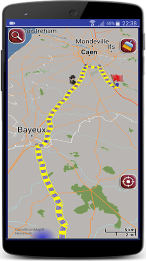
Vectrum G - Open interface social platform for Android, GPS navigation, map management, user groups management and real-time information sharing.
The aim was to create a social sailing platform with an open and contextually independent interface. The principle of groups makes it possible to share specific information with the possibility of using the maps and their own layers.
We present you the “VectrumG” platform with many innovative features which allow you to manipulate with maps, create and manage groups according to your interests, navigate using GPS with or without Internet connection and share real-time information within public or private groups
VectrumG platform brings an important improvement to the Vectrum navigation system, both in terms of basic functionality but also in principle. Indeed, this platform based on the social principle, allows the creation and management of groups according to points of interest. Concretely, the old Vectrum system refers to only one group - car drivers. Now it is possible to create any group, public or private, in the context of navigation on land, on water or otherwise. Each can belong to several groups at the same time and see / share information within these same groups.
Let’s take an example: you are part of yacht club, then you are sailing at sea. To go there you take a motorbike and moreover you are an ecologist. So you are integrating three groups with different options – maps, shared information and people in these groups.
Our platform allows you to add all of these public or private groups at the same time. Besides, it allows you to create and manage groups via our website (https://vectrumg.ikroshlab.com/vgroups). You can add the type of information you want to share by associating it with icons that will be visible on the map within your group.
In addition to that, our platform has an open and contextually independent interface, which allows you to attach your own extensions (for example "Vectrum Sea"). In other words, you can add your own maps and / or "layers" while respecting our specifications.
By taking the best of the Vectrum system, VectrumG uses vector maps, an innovative technology in cartography field. With this technology you can style your maps as you want: there are several predefined styles that change the look of the map dynamically depending on your environment luminosity, or you can change them at every moment and personalize your maps further.
- Groups/Extensions creation and management via our web site: https://vectrumg.ikroshlab.com/vgroups- You can join any of these groups from our mobile application and share the information- It is now possible to add extensions, Vectrum Sea for example, which integrates the maritime context, allows to facilitate and secure navigation at sea.- Performance improvement
Show more